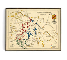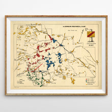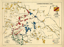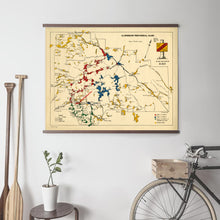
This hand-drawn and color-coded map features the main lakes of Algonquin Park, as well as popular canoe routes. This version was created and distributed in 1940's by The Highland Inn, which was built and operated by the Grand Trunk Railway.
With its minimalist layout and use of bright primary colors, this map makes a very cool conversation piece.
(Please refer to FAQ's for more info and pictures.)
- Paper-Hahnemuhle Archival, heavyweight and thick 240g 100% cellulose, warm white art paper with a smooth matte surface. Perfect for framing.
- Canvas-Gallery wrapped using heavyweight 400g, archival canvas. It's protected with a satin varnish, and stretched around a 1.5 inch pine wood frame, ready to hang. (No exterior frame)


