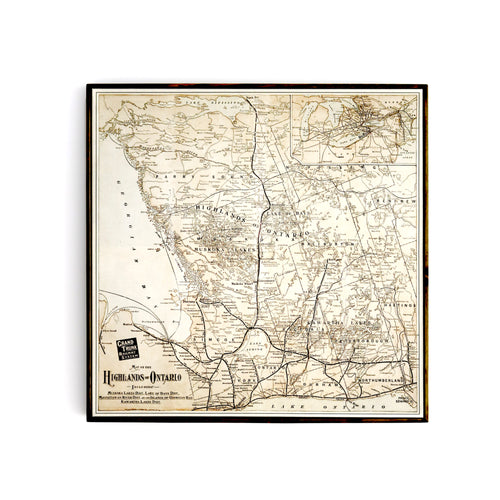
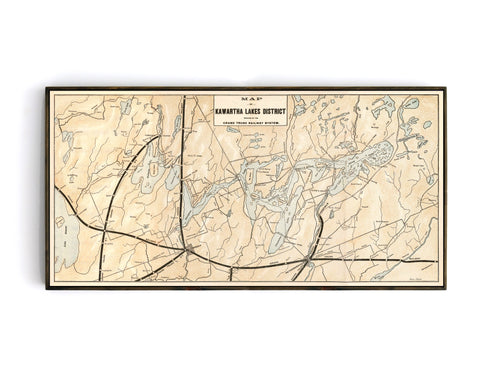
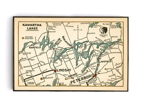
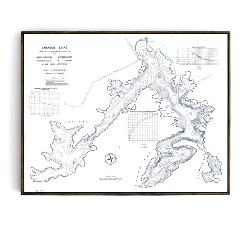
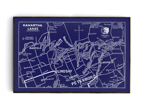
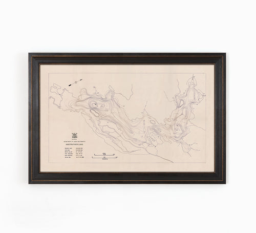
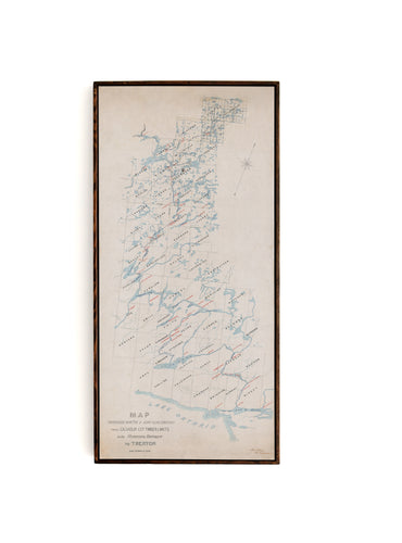
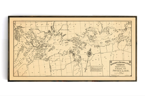
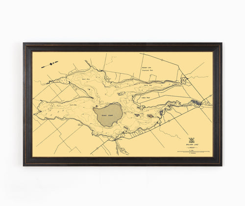
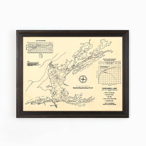
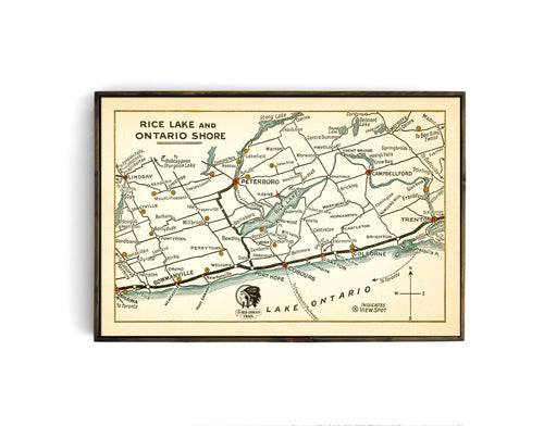
Collection: Kawartha Region

A collection of maps relating to the Kawartha Lakes region of Southern Ontario.  Once considered the gateway to the North, the region has been a key part of the provincial history, economy and cottage country for well over 200 years.
11 products
Ontario Highlands - Grand Trunk Railway Map from 1903
Regular price
$150.00
Sale price
$150.00
Kawartha Lakes Region - Grand Trunk Railway Map from 1908
Regular price
$180.00
Sale price
$180.00
Chandos Lake - Bathymetry Map - North Kawartha
Regular price
$180.00
Sale price
$180.00
Red Indian Trail - Kawartha Lakes
Regular price
$50.00
Sale price
$50.00
Anstruther Lake - Bathymetry Map - North Kawartha
Regular price
$150.00
Sale price
$150.00
Kawartha Lakes - Blue Acetate Style
Regular price
$50.00
Sale price
$50.00
Log Drive Route Map - 1894
Regular price
$140.00
Sale price
$140.00
Stony Lake - Department of Railways & Canals Map
Regular price
$180.00
Sale price
$180.00
Balsam Lake Bathymetry Map
Regular price
$150.00
Sale price
$150.00
Kashabog Lake - Bathymetry Map - North Kawartha
Regular price
$150.00
Sale price
$150.00
Red Indian Trail - Rice Lake
Regular price
$50.00
Sale price
$50.00