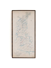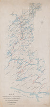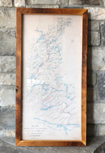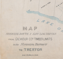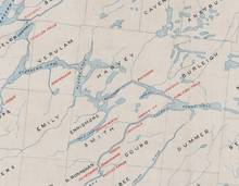
This is a very unique map showing the log drive route from the Nipissing District and Northern Muskoka region, to the Haliburton Highlands, the Kawarthas, and all the way down to Trenton and Lake Ontario.
An amazing piece of Ontario history - this is how Ontario was built and an important route for commerce in the 1800's and early 1900's. The map is hand drawn and features handwritten notes about the location of various dams, slides, and chutes. The map has been restored but does maintain character features including some minor discolorations, which add to its charm, given it is over 120 years old!
(Please refer to FAQ's for more info and pictures.)
- Paper-Hahnemuhle Archival, heavyweight and thick 240g 100% cellulose, warm white art paper with a smooth matte surface. Perfect for framing.
- Canvas-Gallery wrapped using heavyweight 400g, archival canvas. It's protected with a satin varnish, and stretched around a 1.5 inch pine wood frame, ready to hang. (No exterior frame)


