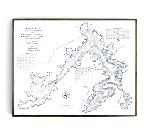
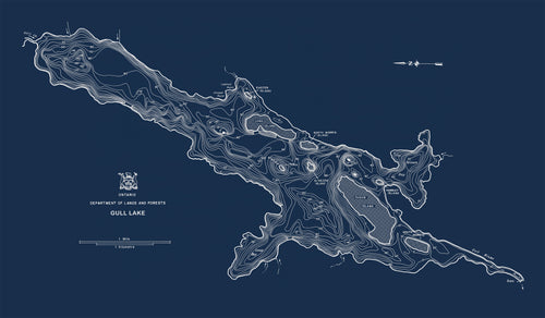
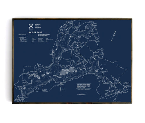
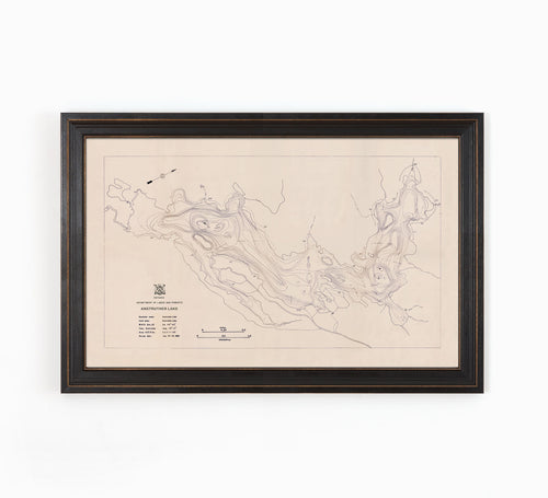
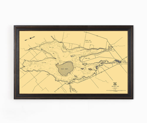
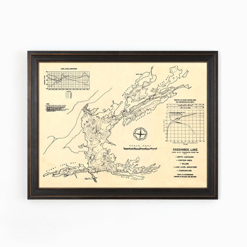
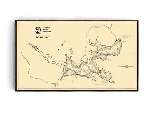
Collection: Bathymetric Maps
Bathymetric charts show relief or terrain as contour lines (called depth contours or isobaths) and selected depths (soundings), and typically also provide surface navigational information.
Between 1948 and 1995 the Ontario Ministry of Natural Resources and Forestry (OMNRF) captured bathymetry data for over 11,000 lakes across Ontario. In many cases, these maps still represent the only authoritative source of bathymetry data for lakes in Ontario.
We have sourced a selection of historic bathymetric maps of Ontario Lakes, retouched and optimized them for printing and framing using high-quality materials. The end result is a series of maps that are beautiful, interesting to look at, and really tie a room together. If you don't see your lake in this collection, drop us a line and we'll see if we can source a version that suits your needs.