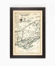
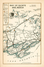
This hand-drawn map is one of a series of driving guides from the late 1940's featuring the Bay of Quinte and surrounding area.
These maps are from a time when going on a "driving tour" through the beautiful Ontario countryside was a well-accepted activity for Saturday afternoon or a family vacation. These maps were essential for trip planning and highlight the roadways, cities & towns, and particularly scenic viewing points of the region.
Looks great as an individual piece or as part of the whole collection.
(Please refer to FAQ's for more info and pictures.)
- Paper-Hahnemuhle Archival, heavyweight and thick 240g 100% cellulose, warm white art paper with a smooth matte surface. Perfect for framing.
- Canvas-Gallery wrapped using heavyweight 400g, archival canvas. It's protected with a satin varnish, and stretched around a 1.5-inch pine wood frame, ready to hang. A floater frame can be added as an option to canvas print purchases.
Have something specific in mind but don't see it in the available options?
We facilitate almost any request, just drop us a line to info@grandtrunktrading.cowith details and any appropriate links to reference and we'll get back to you!


