


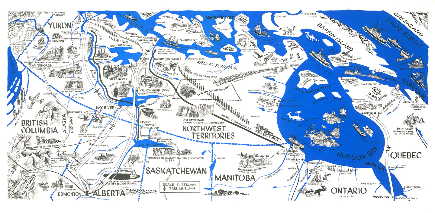
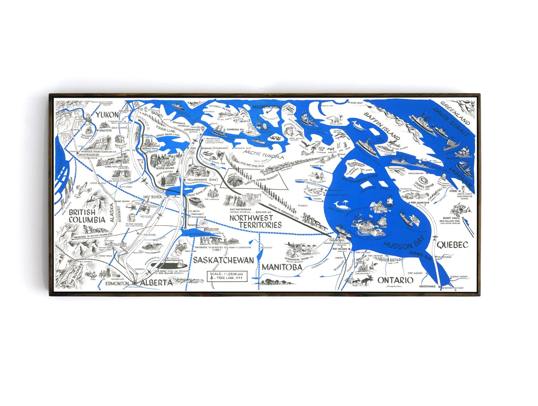

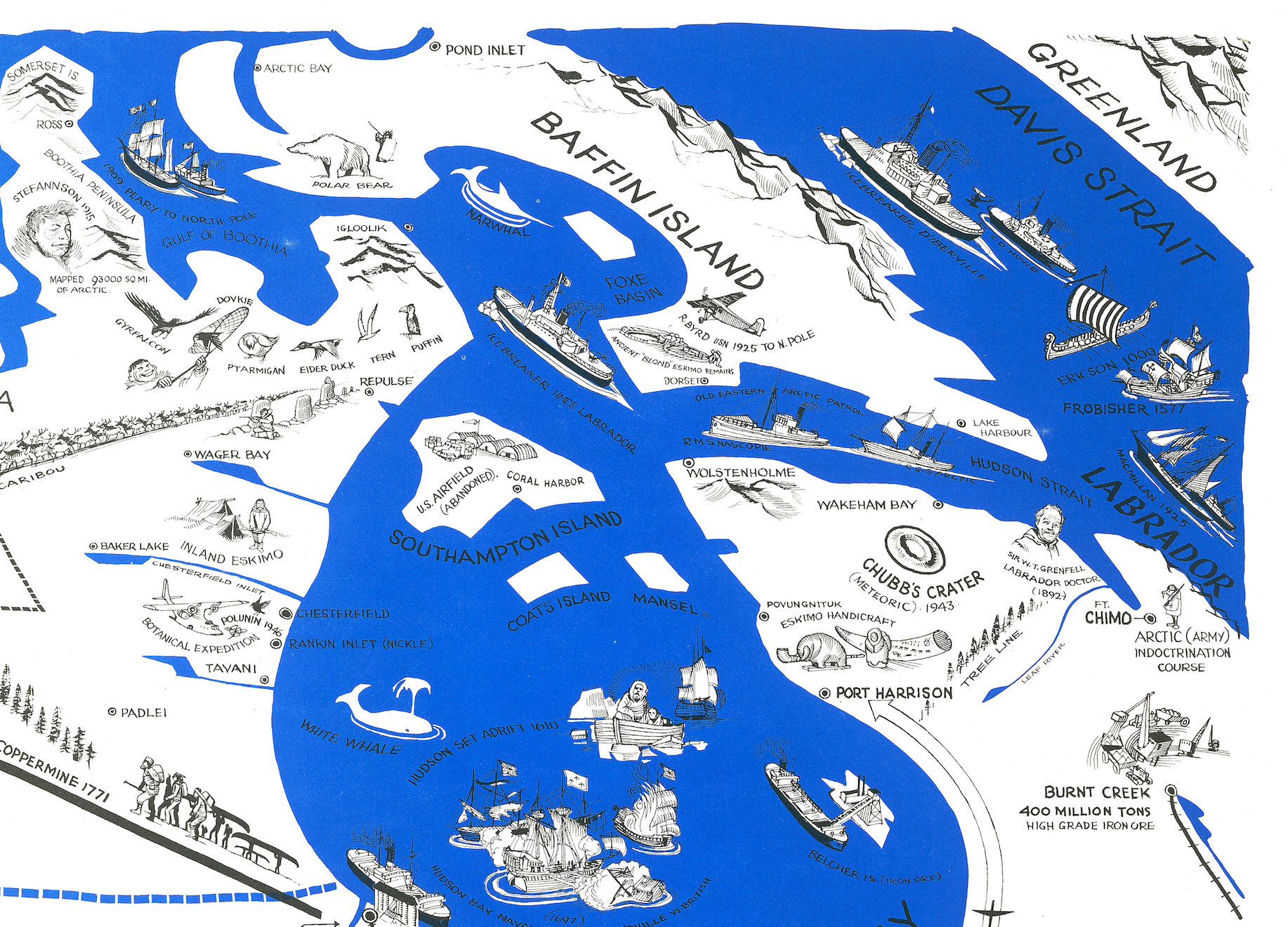
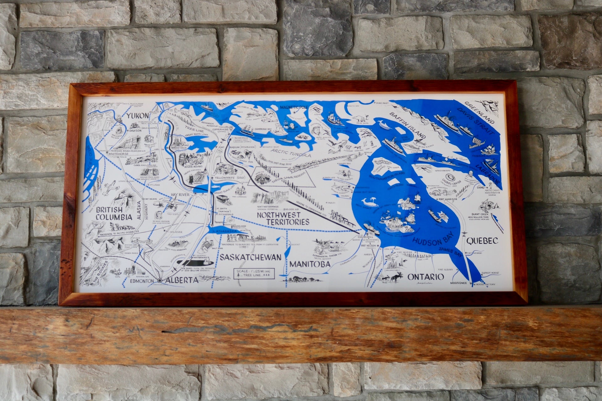
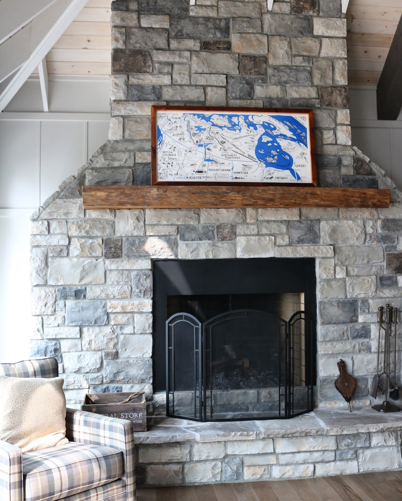
We think this map speaks for itself. It is absolutely stunning! A hand-drawn map of the northern territories of Canada with detailed illustrations showing various historical, cultural and ecological points of interest.
We're not certain of the time period of when this map was created, but based on the graphic styling and animation subjects, our guess is early to mid-1950's. If you have any additional insights about this map, please email us info@grandtrunktrading.co
(Please refer to FAQ's for more info and pictures.)
- Paper-Hahnemuhle Archival, heavyweight and thick 240g 100% cellulose, warm white art paper with a smooth matte surface. Perfect for framing.
- Canvas-Gallery wrapped using heavyweight 400g, archival canvas. It's protected with a satin varnish, and stretched around a 1.5 inch pine wood frame, ready to hang. (No exterior frame)