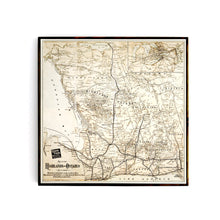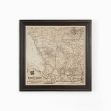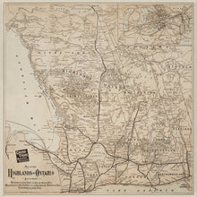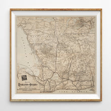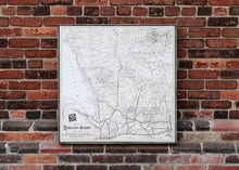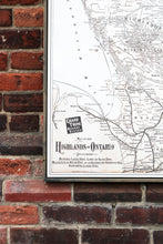
This map showcases the entire Ontario Highlands region as well as the main travel routes serviced by the Grand Trunk Railway. Originally produced as marketing materials for the GTR to promote tourism in the region via the railway. Travelers would refer to the maps to plan their journey North and staying at the many hotels and guest houses that operated during the summer months.
This map has been lovingly retouched by our team. It is highly detailed and features the main travel routes, towns, and points of interest in each of the central Ontario cottage country regions, including the Kawartha Lakes area, Haliburton Highlands, Muskoka Highlands and Georgian Bay, all the way up to Lake Nipissing.
(Please refer to FAQ's for more info and pictures.)
- Paper-Hahnemuhle Archival, heavyweight and thick 240g 100% cellulose, warm white art paper with a smooth matte surface. Perfect for framing.
- Canvas-Gallery wrapped using heavyweight 400g, archival canvas. It's protected with a satin varnish, and stretched around a 1.5 - inch pine wood frame, ready to hang. (No exterior frame)


