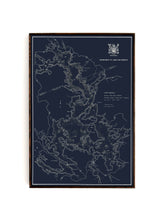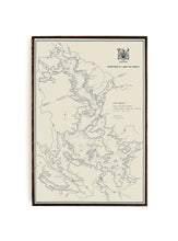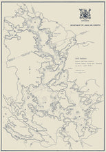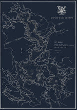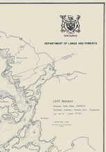
This is a one of a kind bathymetric map of Lake Rosseau in Muskoka, Ontario. Bathymetric charts show relief or terrain as contour lines (called depth contours or isobaths) and selected depths (soundings), and typically also provide surface navigational information.
Between 1948 and 1995 the Ontario Ministry of Natural Resources and Forestry (OMNRF) captured bathymetry data for over 11,000 lakes across Ontario.
We sourced this bathymetric map of Lake Rosseau, and retouched and optimized it for for printing and framing using high-quality materials. The end result is a map that is beautiful, architectural, and can really tie a room together.
Because of the unique and the high-level of detail in the map, we are only offering this map as a large-format framed canvas. The map will be printed on premium canvas, put on a 1" stretcher and framed in a custom, one-of a kind shadowbox frame made from reclaimed materials by our craftsman. For more information on our custom reclaimed frames, please click here.
If you have a specific colourway that you would like to explore, please do not hesitate to reach out.
(Please refer to FAQ's for more info and pictures.)
- Canvas-Gallery wrapped using heavyweight 400g, archival canvas. It's protected with a satin varnish, and stretched around a 1.5-inch pine wood frame, ready to hang. (No exterior frame)


