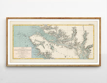
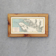
A sea chart of the northern tip of Vancouver Island and the islands surrounding it during the late 19th century. The map details the building of the Canadian Pacific Railway. The map is by one of the most famous Canadians to have ever lived: Sir Sandford Fleming was an engineer and inventor. He proposed worldwide standard time zones, designed Canada's first postage stamp, left a huge body of surveying and map making, engineered much of the Intercolonial Railway and the Canadian Pacific Railway, and was a founding member of the Royal Society of Canada and founder of the Royal Canadian Institute, a science organization in Toronto.
(Please refer to FAQ's for more info and pictures.)
- Paper-Hahnemuhle Archival, heavyweight and thick 240g 100% cellulose, warm white art paper with a smooth matte surface. Perfect for framing.
- Canvas-Gallery wrapped using heavyweight 400g, archival canvas. It's protected with a satin varnish, and stretched around a 1.5 inch pine wood frame, ready to hang. (No exterior frame)


