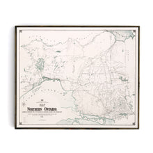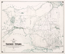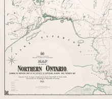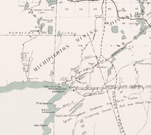
This map was painstakingly restored by digitally stitching together four large-format scans of each of the quadrants of the map. The result is a high-quality, highly detailed historic map of the Northern Part of Ontario. The map spans a tremendous amount of geography while highlighting the various lakes + rivers, railway transportation, prominent vegetation, geological formations, and historical Hudson's Bay Trading Company Outposts of the Algoma, Nipissing and Thunder Bay Districts.
Because of the highly detailed nature of the map, our preference is to print this as a large-format canvas. Trust us, the outcome will be stunning. If you have questions about this map, please feel free to email us info@grandtrunktrading.co
(Please refer to FAQ's for more info and pictures.)
- Paper-Hahnemuhle Archival, heavyweight and thick 240g 100% cellulose, warm white art paper with a smooth matte surface. Perfect for framing.
- Canvas-Gallery wrapped using heavyweight 400g, archival canvas. It's protected with a satin varnish, and stretched around a 1.5-inch pine wood frame, ready to hang. A floater frame can be added as an option to canvas print purchases.


