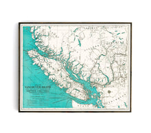
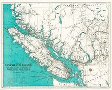
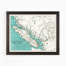
This map was produced to promote Vancouver Island and attract settlers and businesses in the 1920's. Highlighting the islands abundant timber, pulpwood, coal, marble and building stones, water power, whale fisheries, hop and flax growing land, cement and Iron deposits. This map has beautiful coloring and has been fully restored to create a vibrant visual effect.
(Please refer to FAQ's for more info and pictures.)
- Paper-Hahnemuhle Archival, heavyweight and thick 240g 100% cellulose, warm white art paper with a smooth matte surface. Perfect for framing.
- Canvas-Gallery wrapped using heavyweight 400g, archival canvas. It's protected with a satin varnish, and stretched around a 1.5 inch pine wood frame, ready to hang. (No exterior frame)


